01 / 06
Scientific research
Fundamental and applied research in seismology, geophysics, seismic hazard and the seismic resistance of buildings and engineering structures.
Institute of Seismic SafetyScience & safety
Scientific research, earthquake monitoring and earthquake-resistant construction solutions for government programs and business. A full cycle, from fundamental research to the development of technical regulations.
The Institute of Seismic Safety is Adal Group's research division in seismology, geophysics, geoinformatics and earthquake-resistant construction.
Our goal is to reduce socio-economic damage from earthquakes through research, monitoring, standards work, design and education.
Science and standards
Fundamental and applied research, development of technical regulations and adaptation of international standards (Eurocodes and equivalents) to Kazakhstan's conditions.
Monitoring, GIS and seismic zoning
Earthquake data acquisition and processing, maintaining seismological observation databases, applying GIS and seismic zoning of territories.
Expertise and training
Expert assessment of building seismic resistance, retrofitting recommendations, training and certification of specialists for high-seismicity regions.
Fundamental and applied research in seismology, geophysics, seismic hazard and the seismic resistance of buildings and engineering structures.
Monitoring of natural and induced seismicity, instrumental control of facilities of heightened responsibility, processing and analysis of seismic data.
The Institute of Seismic Safety LLP works in the organisation of seismic monitoring of natural and induced seismicity, instrumental control of facilities of heightened responsibility, processing and analysis of seismic data, and scientific and technical support of engineering projects.
The Institute develops modern technical solutions for seismic monitoring that apply digital technologies, automated data transmission systems and artificial-intelligence methods to the acquisition, processing, analysis and interpretation of seismic information.
Our services
The Institute is focused on bringing modern digital technologies, automated data processing and artificial intelligence into seismic monitoring practice. An integrated approach to analysing seismic information helps to detect potentially hazardous processes early and raises the safety level of facilities of every kind, providing information support for engineering and management decisions.
Detailed seismic zoning and microzoning of regions, cities and sites hosting facilities of heightened responsibility.
Seismic hazard assessment is a set of seismological, geophysical, engineering-geological, hydrogeological and cartographic studies aimed at determining the expected level of seismic impact for territories, settlements, industrial sites and construction projects.
The results are used in territorial planning, the design of buildings and structures, and the development of measures to reduce seismic risk and ensure seismic safety.
A set of studies assessing the expected seismic impact across administrative regions and in areas where important facilities are sited and designed. The work is performed at scales of 1:1,000,000 and larger.
DSZ produces seismic hazard maps in degrees of the MSK-64(K) macroseismic scale and in peak ground acceleration values. Maps can be prepared for given probabilities of exceedance, including 10 % and 2 % in 50 years.
DSZ is carried out across administrative regions of the Republic, in areas where important national facilities are designed and built, and to resolve urban-planning tasks in siting and constructing facilities of special importance (thermal power plants, nuclear power plants, high dams, reservoirs, mining facilities and others).
What the work includes
A set of engineering-geological, geophysical and seismological studies that determines the actual seismic hazard level of a specific territory, accounting for local geological, soil and geomorphological conditions.
Performed for
What the work includes
Design, survey, structural analysis and technical support of civil, industrial and commercial buildings and structures.
The Institute provides a full range of engineering services in the design, survey, structural analysis and technical support of civil, industrial and commercial construction. The work is carried out by qualified specialists using modern software and in accordance with current building codes and standards.
Our services
We aim for every design solution to be technically sound, cost-effective and fully compliant with the requirements of safety, reliability and current regulations.
Geographic information systems, Earth remote sensing data processing, digital maps and territory models, spatial analysis.
Development and deployment of geographic information systems (GIS), processing and analysis of Earth remote sensing (ERS) data, creation of digital maps and territory models, spatial analysis, monitoring of natural and man-made processes, and preparation of analytical materials for assessing the state of territories and supporting engineering decisions.
Our services
Organization of training and re-training courses for engineers and technicians specialized in design and construction in high-seismicity regions.
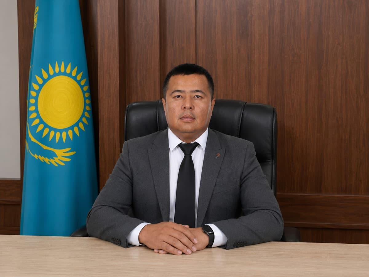
Ruslan Gashimov
Director of the Institute
The Institute of Seismic Safety LLP is part of the group and serves as its centre of scientific expertise. We carry out fundamental and applied research, develop methodologies for field and analytical work, and draft technical regulations.
A permanent research staff underpins the depth of expertise, the consistency of method and the quality of the solutions. The Institute brings scientific work and practical delivery together, forming a dependable basis for sustainable projects in architecture, urban development and construction.
Research staff
The Institute acts as agent for developers of seismic isolation and earthquake early-warning systems, and runs joint research with China's state seismological institute.

Seismic isolation and vibration protection for buildings. A three-year agreement, from 1 September 2026 to 31 August 2029.
Jiangsu Forceset Vibration Control Technology Co., Ltd.
How it went
Earthquake early-warning networks and AI processing of seismic data, including the Diting platform.
Beijing QuakeSeek Digital Intelligence Technology Ltd. Co.
How it went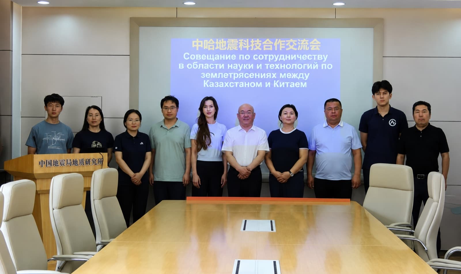
Baseline seismicity assessment and scientific support across hydropower, urban development and nuclear energy.
Institute of Geology, China Earthquake Administration
How it went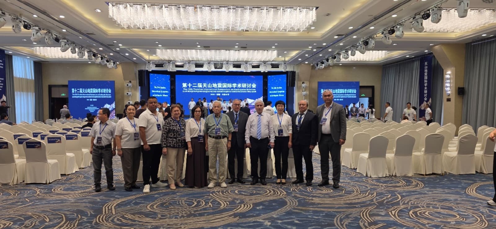
Papers on induced seismicity and the seismicity of the Dzhungar-Boro-Khoro region, plus field work in the Manas earthquake zone.
Urumqi Institute of Central Asian Earthquake Research, China Earthquake Administration
How it wentTell us about the task — we'll respond within one business day.